Geography teachers regularly look for digital tools to make their lessons more engaging. In 2026, several online games stand out as genuine pedagogical complements — free, no sign-up required, usable on tablets or smartphones.
Why use games in the geography classroom?
Cognitive science research is clear: active learning (doing, playing, solving) produces 3-4× better retention than passive learning (reading, listening). Geography games combine:
- Engagement: students play willingly, even the less motivated ones
- Repetition: multiple rounds allow revision without monotony
- Visualization: the reactive map anchors information geographically
- Positive competition: scores and challenges create healthy emulation
Top 5 geography games for the classroom
1. Geo-Atlas — Multiplayer deduction (★★★★★)
Strengths: Multiplayer up to 50 players, real-time interactive map, questions covering every part of the curriculum (continents, seas, population, geopolitics), available in English.
Level: Upper elementary through high school Session length: 15-25 minutes Equipment: Interactive whiteboard, or student smartphones/tablets Link: geo-atlas.net
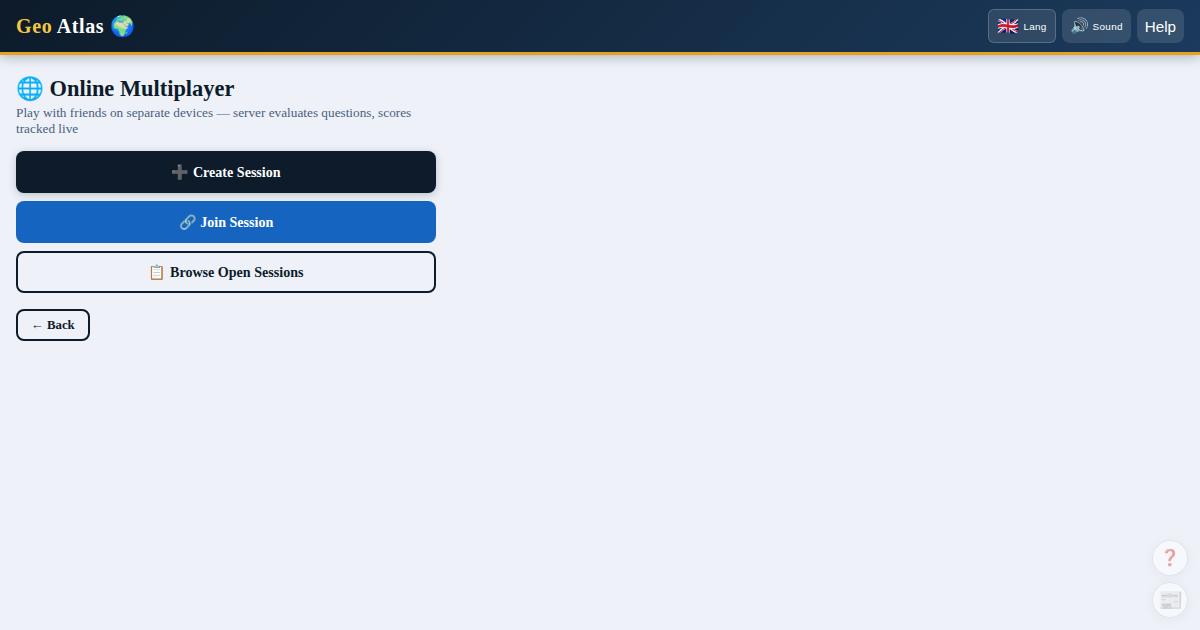
How to use it: 1. The teacher creates a session and projects the join code on the board 2. Students join from their own device 3. One student picks the secret country (or the teacher, from their own screen) 4. Group questioning with class discussion on each clue 5. Post-game discussion: "Why is this country landlocked? What are its resources?"
2. Seterra — Map location quizzes (★★★★☆)
Strengths: Very easy to pick up, hundreds of configurable quizzes, excellent for younger students.
Level: Elementary through middle school Duration: 5-15 minutes Use: Location quiz (click the correct country/capital)
3. Kahoot — Real-time quiz (★★★★☆)
Strengths: Fun, competitive interface, easy to configure, students love the timer pressure.
Level: All levels Duration: 15-20 minutes Use: Chapter revision, formative assessment
4. Worldle — Daily challenge (★★★☆☆)
Strengths: Short (one country per day), shareable, builds country-silhouette recognition.
Level: Middle school, high school Use: Class warm-up activity (5 minutes), sparks curiosity
5. GeoGuessr (free tier) (★★★☆☆)
Strengths: Immersive Street View experience, excellent for lessons on landscapes and environments.
Level: Middle school, high school Limit: One free game per day
Teaching scenarios with Geo-Atlas
Scenario 1 — Introducing a new chapter
Goal: Activate students' prior knowledge about a region
Steps: 1. The teacher configures Geo-Atlas with the "African countries" pack (or European, etc.) 2. One group game: students ask questions about the unfamiliar continent 3. Post-game discussion: "What did you learn about this country that you didn't know before?"
Duration: 20 minutes + 10 min discussion
Scenario 2 — Revision before an assessment
Goal: Review the characteristics of several countries while having fun
Steps: 1. A series of 5 quick games (different countries from the studied region) 2. After each reveal, the teacher displays the country's profile page 3. Students fill in a summary sheet (capital, population, key characteristics)
Duration: 40 minutes
Scenario 3 — End-of-year tournament
Goal: Showcase accumulated knowledge
Steps: 1. Split the class into teams of 4-5 students 2. Each team manages one "player" on a shared device 3. 10 rounds — the team with the highest total score wins 4. Award a "Geography Expert" diploma/badge
Downloadable resources
Student handout — "How to ask good questions"
Effective questions in Geo-Atlas:
1. "Is it in Europe?" -> eliminates ~140 countries if no
2. "Is it in Sub-Saharan Africa?" -> narrows the region
3. "Is it landlocked?" -> eliminates coastal countries
4. "Does it have more than 50M people?" -> splits by demographics
5. "Is it an EU member?" -> for European countries
Suggested assessment criteria
- Relevance of the questions asked (strategy)
- Use of the map's visual clues
- Ability to eliminate candidates efficiently
- Geographic knowledge demonstrated
Addressing technical challenges
No tablets or smartphones available? Geo-Atlas can be projected on an interactive whiteboard. The teacher plays; students guide the questioning out loud as a class.
Limited internet connection? Geo-Atlas is very lightweight — it works on weak 3G connections. Avoid switching to satellite map tiles (the default vector map is already lightweight).
Multilingual students? Geo-Atlas is available in English, French, and Spanish — each student can play in whichever language they're most comfortable with.
Student privacy and data
A point school IT departments routinely check before approving a new tool: Geo-Atlas requires no sign-up, no account, no email address. A player simply picks a display name for the session — no personal data is collected on minors. Multiplayer sessions are ephemeral: they disappear once the game ends. This is worth mentioning directly to administration or IT staff when requesting approval to use it in class.