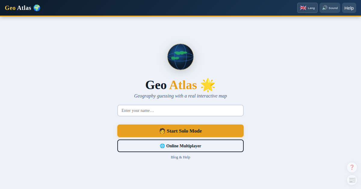
How to play Geo Atlas
Geo Atlas is a geography guessing game. A secret country is hidden — your goal is to identify it by asking Yes/No questions and watching the interactive map.
Step 1 — Choose your mode
🧑 Solo mode: play alone against the game. A random country is picked automatically. Perfect for practice or learning geography.
🌐 Online multiplayer: create or join a session with up to 50 players in real time. One player picks the secret country, the others guess.
Step 2 — Ask questions
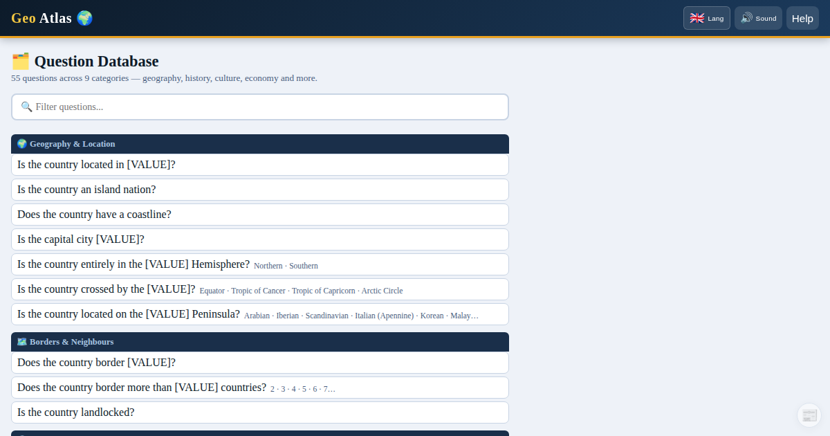 Question panel with category filters and live interactive map.
Choose a question from the panel (continent, population, religion, rivers, organisations…) and select a value. Click Ask.
The game answers Yes or No instantly by comparing real country data. The map updates: matching countries turn orange, eliminated countries turn red.
Tip: start with continent to eliminate ~80% of countries in a single question.
Step 3 — Guess the country
When you have an idea, type the country name in the Guess field (in English, French, or Spanish) and press Go!. You can also right-click any country on the map and use the 🎯 Use as guess button.
In solo mode, free 💡 Clues are available progressively if you get stuck.
Changing language
Click the flag button at the top right to switch between 🇫🇷 Français, 🇬🇧 English and 🇪🇸 Español. Your choice is remembered.
See also
- Solo mode in detail — scoring, clues, stars, and personal best
- Scoring system — costs, bonuses, stars
- Question system — all 55 questions by category
- Multiplayer guide — modes, admin controls, cumulative scores