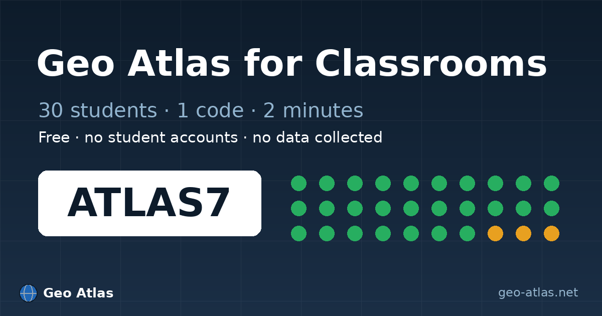
🏫 Geo Atlas for Classrooms
A new /classrooms page shows teachers how to run a 30-student geography review in under 2 minutes: no student accounts, no data collected, Quebec Law 25 compliant.
- Projectable join screen: in the waiting room, a full-screen mode shows the session code extra-large with a QR code — made for interactive whiteboards and projectors.
- Nickname filter: inappropriate nicknames are blocked in French, English and Spanish.
- "Classroom" category: a question preset aligned with geography curricula.
- End-of-game class summary: questions asked, countries found and scores, exportable as CSV or printable.
🧭 Interactive borders tool
The 150 static "countries bordering X" pages are replaced by a single interactive tool: /quiz/borders. Pick a country, see its neighbours on the map, then start a game.
📚 GeoWordle archive
Every past GeoWordle puzzle now has an archive page with the answer and a clue-by-clue breakdown. Today's puzzle stays secret, of course.
🏛️ Richer Countries page
The /countries page now embeds a playable "Capitals Challenge" mini-quiz.
✍️ Blog articles
Five articles were rewritten from scratch with equal depth in English, French and Spanish.
Under the hood
- Cloudflare Web Analytics (privacy-friendly, cookie-free)
- Site verification with Bing and Yandex
- Offline mode fix (the service worker cached the wrong page)
- Missing map tiles fix (transparent fallback instead of a green image)
llms.txtfiles for AI assistants